
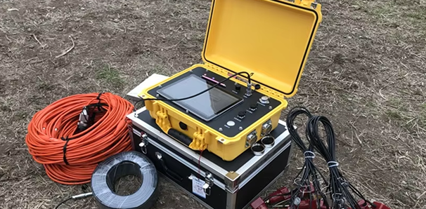
Electrical Resistivity Survey
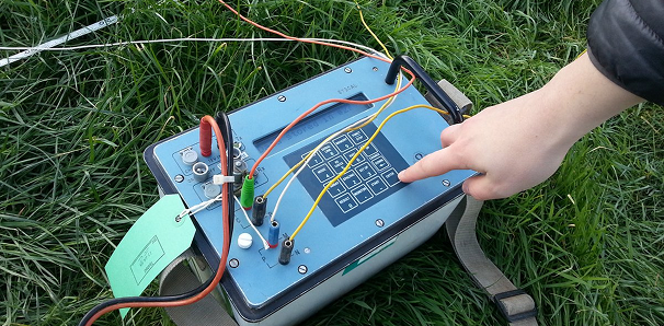
This method works by running an electric current into the ground through an electrode, then measuring the voltage that appears at another electrode. From the resistivity data obtained, we can find out:
Depth and thickness of soil or rock layers
Presence of groundwater
Weak zones or cracks
Boundary between hard and soft rock
Potential mineral or other resource content
Ground Penetrating Radar
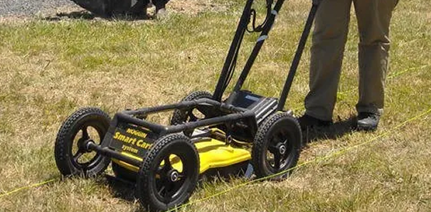
This method works by running an electric current into the ground through an electrode, then measuring the voltage that appears at another electrode. From the resistivity data obtained, we can find out:
Depth and thickness of soil or rock layers
Presence of groundwater
Weak zones or cracks
Earthquake Vulnerability Study

This method works by running an electric current into the ground through an electrode, then measuring the voltage that appears at another electrode. From the resistivity data obtained, we can find out:
Depth and thickness of soil or rock layers
Presence of groundwater
Weak zones or cracks
Boundary between hard and soft rock
Magnetic Survey
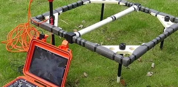
This method works by running an electric current into the ground through an electrode, then measuring the voltage that appears at another electrode. From the resistivity data obtained, we can find out:
Depth and thickness of soil or rock layers
Presence of groundwater
Weak zones or cracks
GPS Geodetic Survey
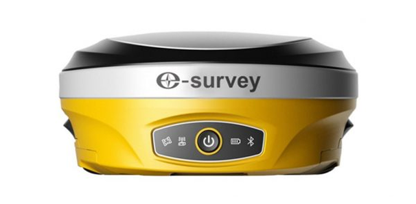
This method works by running an electric current into the ground through an electrode, then measuring the voltage that appears at another electrode. From the resistivity data obtained, we can find out:
Depth and thickness of soil or rock layers
Presence of groundwater
Weak zones or cracks
Geophysical Tool Rental
This method works by running an electric current into the ground through an electrode, then measuring the voltage that appears at another electrode. From the resistivity data obtained, we can find out:
Depth and thickness of soil or rock layers
Presence of groundwater
Need a reliable field survey service?
The Geoanalis team has the expertise, and don't hesitate to trust us.